In January, when the Maxi Banque Populaire V—an ocean racing trimaran—shattered the world record for circumnavigating the globe (surpassing the old record by more than two days and clocking an average speed of 26.5 knots), another “first” was quietly being celebrated behind the scenes. This was the first time that altimeter data was used operationally to detect icebergs.
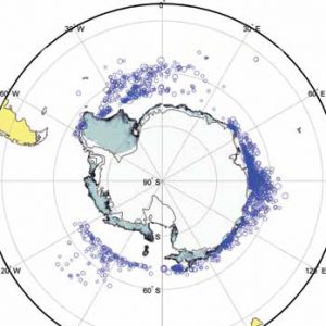
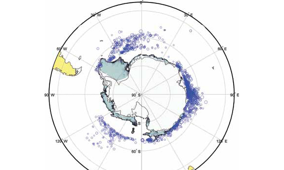
C-CORE of St. John’s, Newfoundland and Labrador on the east coast of Canada has been providing iceberg detection service for round-the-world yacht races since 2003, relying on satellite-based Synthetic Aperture Radar (SAR) images. This method was proving to be both time-consuming and expensive, particularly when covering massive areas of ocean. A typical area where iceberg detection is required is south of Africa, between Australia and South America in the southern Indian Ocean. “That’s a horrendously large area,” exclaims Desmond Power, C-CORE’s vice president of remote sensing. “It takes hundreds of images to survey properly, and many weeks to capture and analyse the data.” A significant number of icebergs have been sighted in that region over the years, making it an area of prime interest to racers. “They want to sail as far south as possible in the Pacific,” says Power, “but they want to sail north of the icebergs.”
To download a .pdf of the complete two page Frontier Energy article CLICK HERE.